
Kuva Space, a Finnish space-technology company developing hyperspectral Earth-observation satellites and AI-powered intelligence solutions, has completed a pilot with a key European security stakeholder demonstrating how hyperspectral satellite data can improve the monitoring of illicit crops at regional scale.
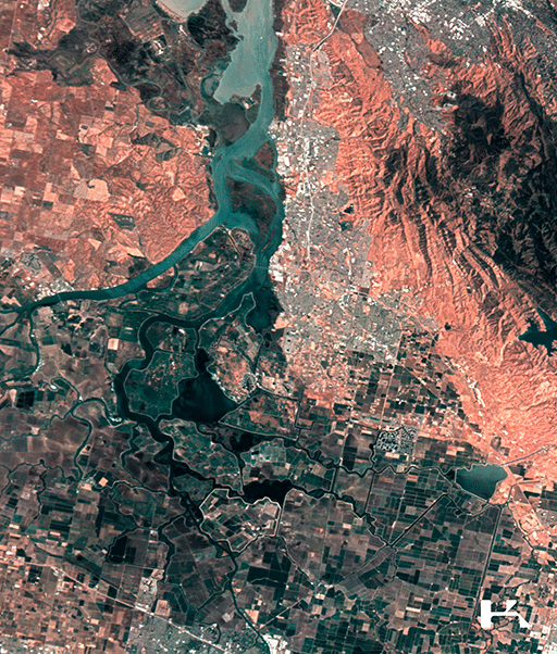
The study focused on opium poppy cultivation in Afghanistan and combined Kuva Space’s Hyperfield imagery with Sentinel-2 data and AI-based classification. The combined model achieved 75% overall accuracy, outperforming Sentinel-2 alone at 71% and reducing false positives.
Across the analyzed area in Helmand Province, the system identified 248,889 agricultural fields and flagged 8,835 as likely poppy fields, demonstrating how hyperspectral screening can narrow vast search areas and direct costly high-resolution imagery and analyst attention to the places most likely to warrant further investigation.
Illicit crops such as opium poppy can be difficult to distinguish from legal crops using conventional satellite imagery alone, and especially if the illicit crop is grown in a mix of other similar-looking crops. Hyperspectral sensors measure reflected light across many narrow spectral bands, allowing AI models to detect subtle vegetation differences linked to chlorophyll, water content, and pigmentation.
In the pilot, combining data from Kuva Space’s hyperspectral Hyperfield-1 satellites with Copernicus Sentinel-2, the EU’s conventional multispectral Earth-observation mission, reduced false positives compared with either source alone.
The result is a more efficient screening layer: large areas can be assessed first, allowing analysts to concentrate costly very-high-resolution (VHR) imagery and manual review on the places most likely to warrant further investigation.
The geography of illicit opium production is shifting rapidly. According to the UN 2026 World Drug Report, Afghanistan’s opium production remains dramatically below pre-ban levels, while poppy cultivation in Myanmar increased 17% in 2025, making it the world’s largest opium producer.
As cultivation shifts between regions, authorities need monitoring systems that can scale across large territories where physical access may be limited. Kuva Space’s approach addresses that challenge by using hyperspectral satellites and AI to identify where more detailed investigation is most likely to be valuable.
Kuva Space trained its in-house foundation model on the entire Hyperfield data archive of 1.2 million image patches, studied a limited reference area, and then applied it across a much larger region, producing cultivation patterns broadly consistent with recent UNODC reporting.
The same approach could potentially be adapted to other opium-producing regions, as well as crops such as coca or cannabis.
“Satellite monitoring has traditionally forced a trade-off between covering very large areas and seeing enough detail to identify what is actually growing there. Hyperfield data and in-house AI-powered models start to close that gap,” said Jarkko Antila, CEO of Kuva Space. “By detecting differences in vegetation that conventional imagery miss, we can screen entire regions and focus the most expensive analysis on a much smaller set of high-probability areas. That changes both the economics and the scalability of illicit crop monitoring.”